On the Road is a weekday feature spotlighting reader photo submissions.
From the exotic to the familiar, whether you’re traveling or in your own backyard, we would love to see the world through your eyes.
frosty
Like Joshua Tree, this is a park I always wanted to see, but never got to while I lived in California. When you decide to go up 395 through the Eastern Sierra, you pretty much give up seeing any other parts of the state, especially in the winter when the passes are closed. This was the first trip where we decided to do that.
We were here for four days. We unhitched the trailer at Stovepipe Wells, one of three places in the park with a gas station, restaurant, and lodging. We took three day trips through the park, taking short hikes at some of the sites and on the fourth day went over the passes to 395 and spent the day at Manzanar and Lone Pine (more later). This post shows pictures of the landscape, the next one will show some of the historic sites.
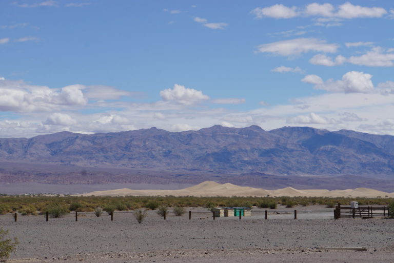
The RV campground in Stovepipe Wells had mountains on all sides. The view out our door was the Cottonwood Mountains and the Mesquite Flats sand dunes (and a couple of dumpsters behind the ranger station). On our second night the wind came up, with gusts that rocked the trailer for about three hours, before it started to rain. When we got up in the morning there was snow on the peaks all around us.
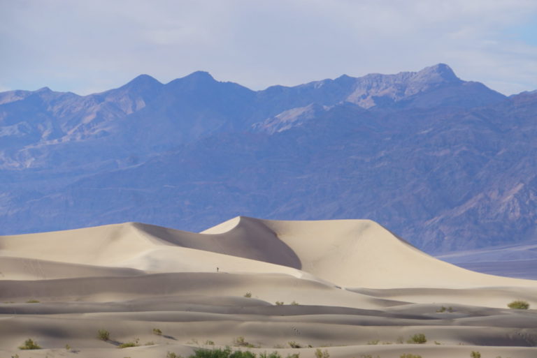
Mesquite Flat dunes at dusk.
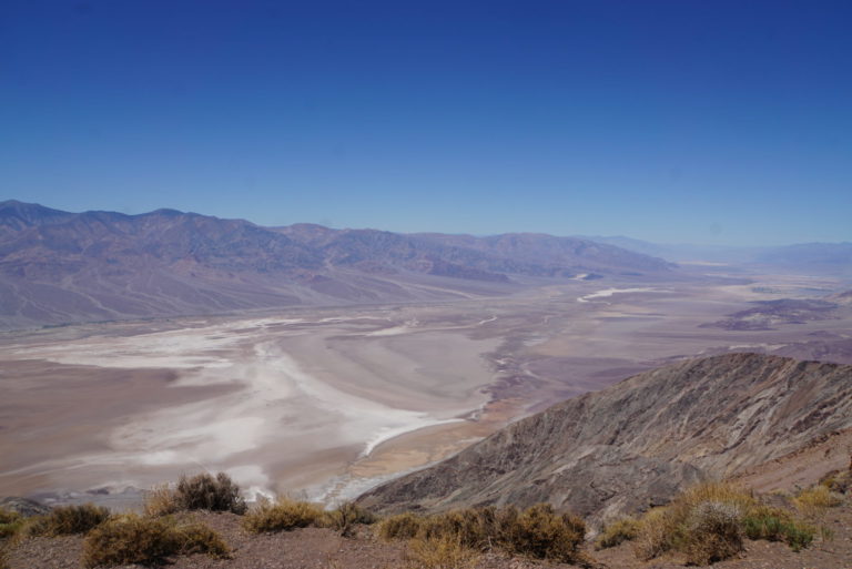
The overlook at Dante’s View (el. 5,475 ft) was our last stop and maybe it should have been the first. Every time we got above the valley floor for a hike I took a picture. This one was better than any of the others.
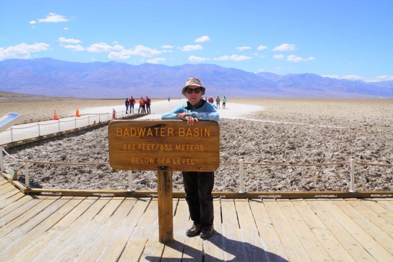
Badwater Basin is the lowest point in North America, 282 feet below sea level.
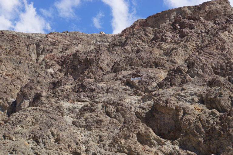
And in case you don’t quite know where sea level is, there’s a sign on the cliff at the edge of the basin that shows it, high above our heads. It’s in the middle of the picture.
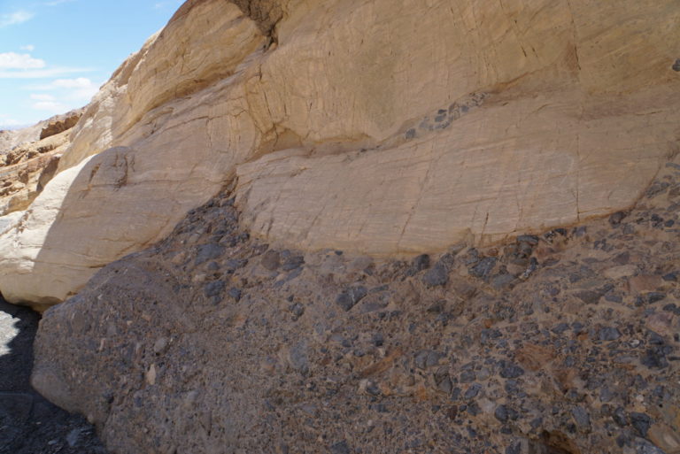
Mosaic Canyon geology. On top, dolomite metamorphosed into marble. On the bottom, breccia, remnants of a landslide cemented together into a mosaic that gives the canyon its name.
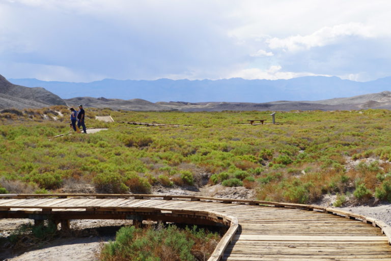
The Salt Creek Trail is a short boardwalk over what passes for a wetland in the desert, a small, shallow, flowing stream and enough soil moisture to support vegetation.
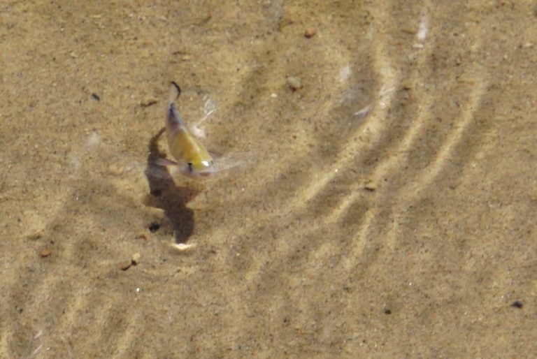
The stream supports an isolated population of Pupfish, one of about ten locations in Death Valley, Owens Valley, and Nevada. Many of them are endangered.

El Cruzado
Drove by on a road trip right before the pandemic, hoping to take the missus there once traveling around is a thing again. I honestly think it would make a great year’s end place to visit.
Mary G
Just amazing. I have to admit that even though I’ve been up and down 395 a number of times, I’ve never gone to Death Valley. There’s a lot more there than I knew. The geology especially looks fascinating, and it’s amazing that the pupfish can survive in those extreme circumstances.
Laura Too
Beautiful, thanks!
JeanneT
Death Valley has always been kind of a vague hot mythic place in my mental geography. Thanks for giving it some clearer definition!
And as a bonus, I now understand why Terry Pratchett named the troll mob/brotherhood (in the Discworld books) the Breccia.
arrieve
I love the picture of the dunes! I think road trips are going to be the theme of my during/post-pandemic travels. Thanks for the inspiration.
YY_Sima Qian
Nice pics!
I visited Death Valley in summer about 10 years ago, part of a 2 weeks trip around the California NPs that I had taken by parents on. Temperature in the shade was 125 deg. F. I made the mistake of doing a hike part way through the Golden Canyon at 1:30 PM, with the sun directly overhead & no shade to be found. I was pretty well covered up, and wore a wide brim hat w/ strong UV protection, but did not wear any face covering. My cheeks hurt from the sunlight reflecting off the rocks & the ground, & the Gatorade in my water bottles was searing my lips. I turned back after about half a mile.
Extraordinary landscape through. A few days later, as we traveled through Yosemite & Lassen, there was still snow on there ground in the passes.
Chris T.
Surprising thing about Death Valley, that makes sense after you think about it: it’s a rift valley, i.e., a place where two continental plates are separating. That’s why Badwater is below sea level. The surprising part is: those gravel / breccia beds go down over a mile! It’s been separating for a long time.
Takeaway: California isn’t falling into the ocean, it’s rising up out of the ocean. But it’s splitting off from the rest of North America, probably in protest of Texas. ?
J R in WV
As a long time lover of geology and rocks and natural crystals, Death Valley has long been on my bucket list. Unfortunately as an old already, I am fully aware that my bucket list will only change by becoming longer and longer.
Love the pic of the sea level sign way up on the hill~!!~ Thanks for sharing the trip!!
@YY_Sima Qian:
YY_ so glad you turned back promptly, people do die in Death Valley, strong experienced outdoors people die there all the time. Don’t do that, folx!!!
Origuy
I was there years ago. I was in a tent in the RV parking lot and I remember the wind made it hard to sleep. There is a lot to do there, even without getting into the backcountry.
frosty, did you make it to Bodie? I was there a few weeks ago. If you don’t have pictures lined up, I’ll put some together. I got as far south as Mono Lake.
SkyBluePink
Wonderful pics!
I’ve enjoyed your glimpses into a different beauty.
YY_Sima Qian
@J R in WV: The National Parks Service website for Death Valley actually carries a warning that hiking after 10 AM is not recommended in the summer!
JaneE
@YY_Sima Qian: We had two people die this year about a week apart. Hiking alone. There may have been more, but two back to back stuck in my mind.
November, December, January are good times to visit – winter. I think the 49’ers RV gathering is in November. But everyone just has to go and see how hot it can get in August.