On the Road is a weekday feature spotlighting reader photo submissions.
From the exotic to the familiar, whether you’re traveling or in your own backyard, we would love to see the world through your eyes.
lashonrangue
As I mentioned in the previous OTR, we spent 3 nights at Upper Cabin Bottom on the Green River. There are the remains of a cabin a very short distance up an arroyo from the campsite. There is also a trail along the river to the south that will take you to Ancestral Puebloan petroglyphs.
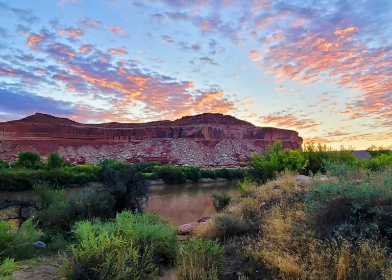
I got up early one morning and hiked a foot path that goes a short distance to the next campsite – Lower Cabin Bottom. This was taken just before the sun rose above the far cliffs.
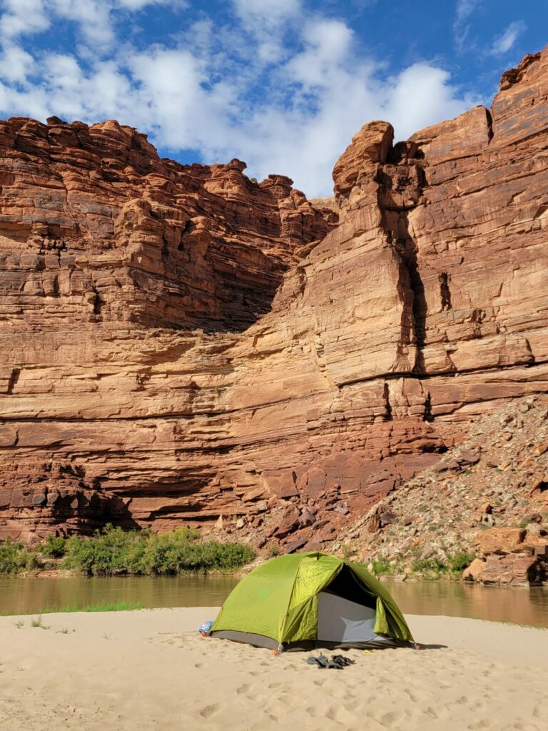
Our next campsite was on a sandbar across from a hanging canyon. These are formed when the course of the river changes (a very long time ago).
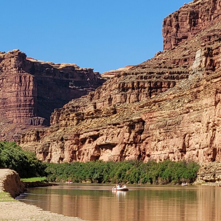
This next campsite had a sandbar that rose in height as it went upstream. The bank was slowly eroding into the river. We pitched our tent in a place that we thought was far enough back from the river to be safe. However, the sound of a piece of the bank periodically splashing into the river was a little unsettling. This group of people floating by gives a sense of the cliff’s scale.
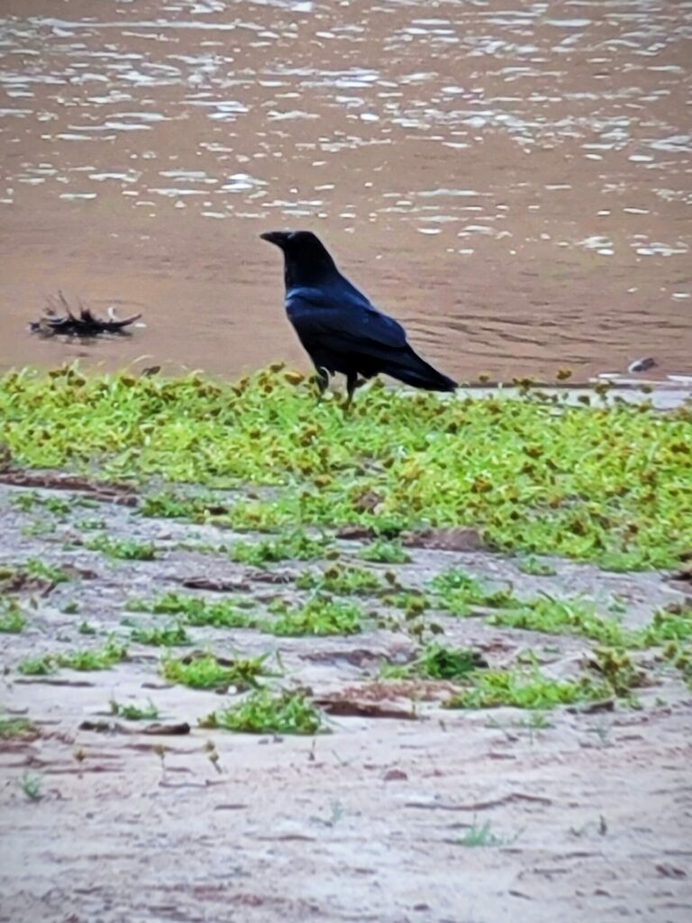
We continually saw and heard ravens along our trip. You have to be careful and secure your collection of food from them.
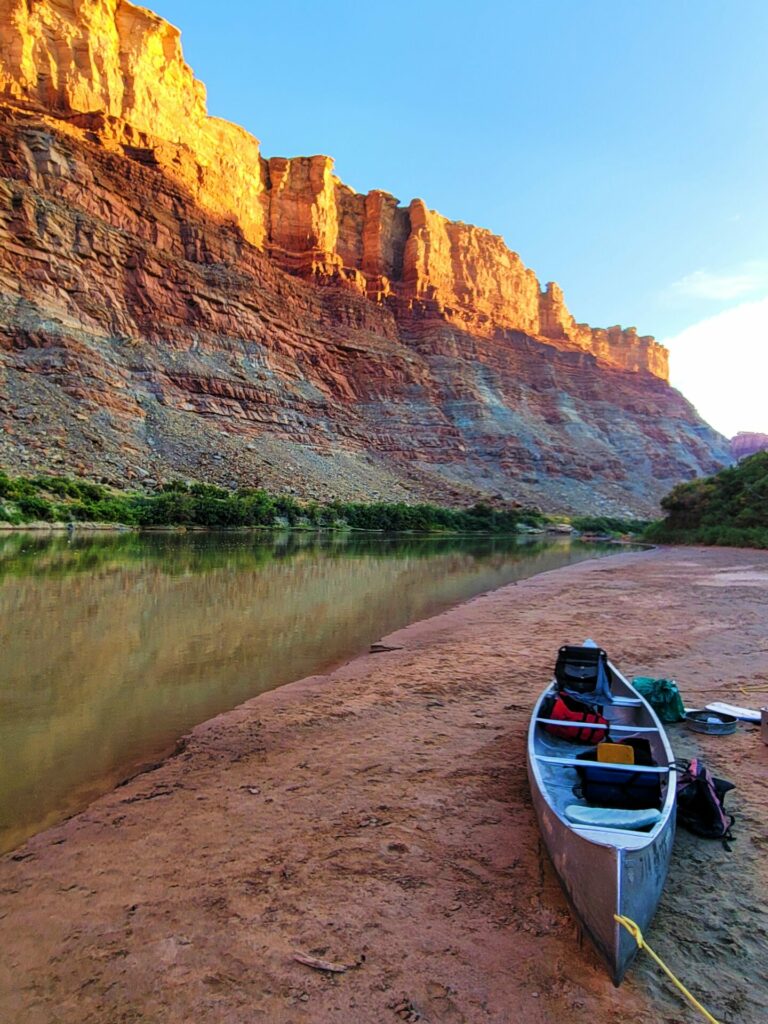
We reached the confluence of the Green and Colorado Rivers the day before our scheduled pick up by the outfitter’s jet boat. The boat needs a certain depth right off shore in order to land. This site didn’t permit that but it was close to another nearby location that we expected would be reachable.
Note: Mileage notations change at the Confluence going downstream on the Colorado River. They start at 216.5 on the guide book we were using. The mileage ends at Lees Ferry.
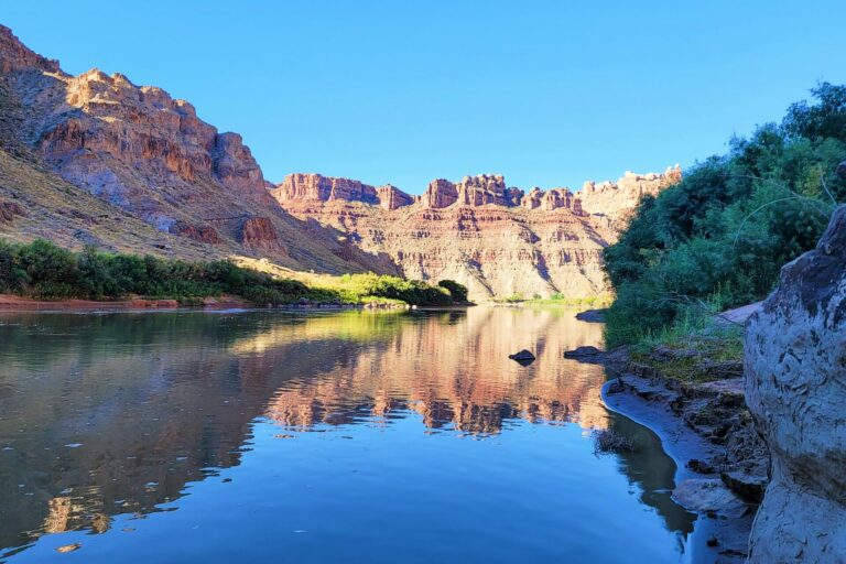
So the next morning we got up early, and paddled a short distance to Upper Spanish Bottom. This is a series of camping areas above Cataract Canyon – the start of white water on the Colorado. This was taken early morning looking down river as we waited for the arrival of the jet boat. The river turns to the left at the cliffs in the center of the photo. The vegetation beneath them is Lower Spanish Bottom – the last place for jet boat pick up. You don’t want to take your canoe beyond that point.
The boat made several stops after our pick up. It held twenty five passengers.
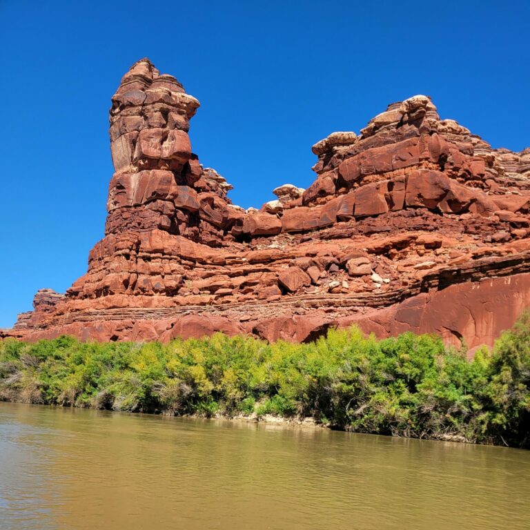
Lots of weird rock formations as we jetted upstream for about two hours.
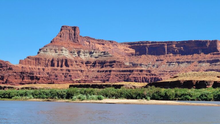
The river grew wider as we rode upstream. At the end of the ride the boat landed at a concrete ramp and was hauled out onto a large trailer. All the passengers got onto a school bus for a 30 minute ride to the outfitter’s office. Then everyone helped unload all the gear from the boat in the parking lot. We found our gear, returned what we had rented, and then headed to our hotel for a much needed shower. Another very satisfying trip finished! We are already thinking about next year.

HinTN
That sunrise was worth the trip! Mrs H avers that she will never again willingly sleep on the ground. I may have to find a paddling companion!
Winter Wren
Beautiful pictures, especially that first sunrise photo. Seems like a great trip!
princess leia
Thank you for sharing these!
Manyakitty
Spectacular 🤩
Betty
That southwestern sky is amazing. Contrasted against the cliffs, it provides gorgeous scenery.
frosty
Nice trip! I’ve always thought canoe camping would be a great way to go. No (well fewer) backaches and no blisters (well, on your feet.) Plus, great views everywhere, not just the high ground.
J.
Wow! What magnificent scenery! Looks like a great trip!
OzarkHillbilly
Sadly, I may have to join her in that. This summer on my most recent float trip I woke up every morning with severe back pain and all but paralyzed. Next year my sons and I have a Boundary Waters trip planned. I can only hope these back exercises work. If not I’ll have 8 nights of hell.
stinger
Another set of spectacular photos! Thank you!
Dagaetch
That sunrise pic is *chefs-kiss*. Beautiful shots.
WaterGirl
Some of those photos take my breath away. The second photo, with your little tent is amazing.
MazeDancer
Wow – what a sunrise!
mvr
Really like the Upper Spanish Bottom photo.
What is the water like on that part of the Green? Is it muddy or clear, warm or cold?
Thanks!
Ten Bears
Nothing like a good float to impress upon us just how insignificant we are …
lashonharangue
@mvr: The Green River is always very muddy/silty. Some people carry water rather than deal with the hassle of filtering. The water temperature depends on the time of year and water level. When we went in the heat of the summer we would soak out clothes in the river for cooling even though the water is pretty warm. Amazing how quickly it would evaporate.
RaflW
This is a lovely post, thank you lashonrangue (and Water Girl). I became interested in the Green River after a flight over the area last January heading to SLC, and I saw the canyonlands.
I noted that some folks claim the Colorado River name should end when the Green & Colorado meet, per naming conventions, because the Green is longer, and a larger drainage than the upper Colorado. Not ever gonna happen, but I appreciate the ‘controversy.’
We may take US 40 one way this January on a trip between Summit Co., CO and Park City. Not sure how much of the Green River beauty we would be able to see with a detour, but I’ll research it!
eclare
Just gorgeous. Thank you for sharing.
StringOnAStick
Ravens are so smart and when it comes to food, quick learners. My husband once left his backpack a hundred feet away while he fooled around practicing ice climbing in RMNP. When he got back to it, a raven had opened the top zipper, tossed the things it didn’t care about (wallet, car keys) into the snow and took off with the baggie full of gorp. It was as fast a hit and run as a catalytic converter theft. He was just glad it hadn’t taken the shiny car keys, and that’s the last time he didn’t secure them to the key clip inside his pack.
BruceFromOhio
Green River canoe ventures look like perfection – calm waters, plenty of sandbars for camping, and views without parallel. Thanks for the ride!
Betsy
O.M.G. How beautiful.
Is that a trip anyone can take? I have experience with flat-water canoeing. Are there any physical challenges, or camping skills needed?
There is an outfitter, I see from your post. What kind of trip would I need to ask about?
Would there be room for my sketching supplies on the trip?
I guess there would be plenty of time available to sketch and hike or watch wildlife?
Apologies for all the questions. I would so love to do this, for real. It looks heavenly.
lashonharangue
@Betsy: This is indeed flat water canoeing. The biggest physical challenge is getting the gear/supplies in and out of the canoe. Your sketching supplies should not be a problem. The main questions are how long you want to be on the river and how many miles per day you feel comfortable paddling. Look through Tex’s Riverways FAQ and then contact them with any additional questions. They are always very helpful.
Betsy
@lashonharangue: Thank you so much! It looks like heaven on earth and a trip one would remember with pleasure for a long time.