BigJimSlade
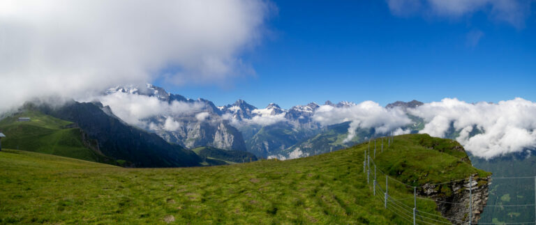
Regarding the Eiger, Mönch, and Jungfrau, the story goes that the monk, is protecting the young maiden, from the ogre. I guess if you grew up in the mountains before tv, radio, and the internet, maybe you would make up stories about the mountains, too. Let’s carry on from lunch below the peaks.
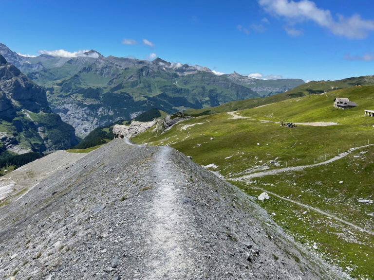
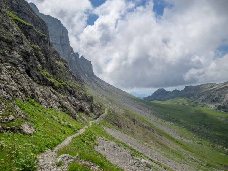
And we’re off – if you look closely, Mürren is across the valley (we walked around there the day before – it’s lovely! But I didn’t take many pictures there.) Embiggen