On the Road is a weekday feature spotlighting reader photo submissions.
From the exotic to the familiar, whether you’re traveling or in your own backyard, we would love to see the world through your eyes.
Mark Painter
Most of the route of the Panama Canal passes through a large artificial lake called Lake Gatún, the surface of which is about 90 feet above sea level. The locks take a ship from the ocean and raise it until it reaches the level of the lake, then it crosses the lake, then another set of locks lowers it to sea level.
The lake was created when the canal was built, in the rugged interior of the country. A number of hills in the region became islands. The largest of these islands is Isla Barro Colorado (“Red Clay Island”) or IBC for short. It is named for the village that used to be there. (Don’t overlook the fact that the canal project displaced many Panamanians.)
From the beginning, IBC was reserved for the use of the Smithsonian Institution and became the home of the Smithsonian Tropical Research Institute (STRI). Even after the canal was returned to Panama, the Panamanian government allowed STRI to continue its work.
I spent a day touring IBC with a small group of other people. No one in the group was more than half my age; every one of them was either a grad student working on tropical research or the spouse of one. I was the only North American in the group. The grad students said they came because STRI generates so much tropical research that they come across it all the time in their work and they wanted to see it.
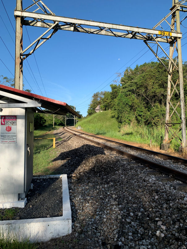
While I was waiting for the boat to take me to the island, I took a short walk to take this picture of the Panama Railroad. This rail line, built by a US company in the 1850s, was the way you crossed the Isthmus of Panama before the canal was built.
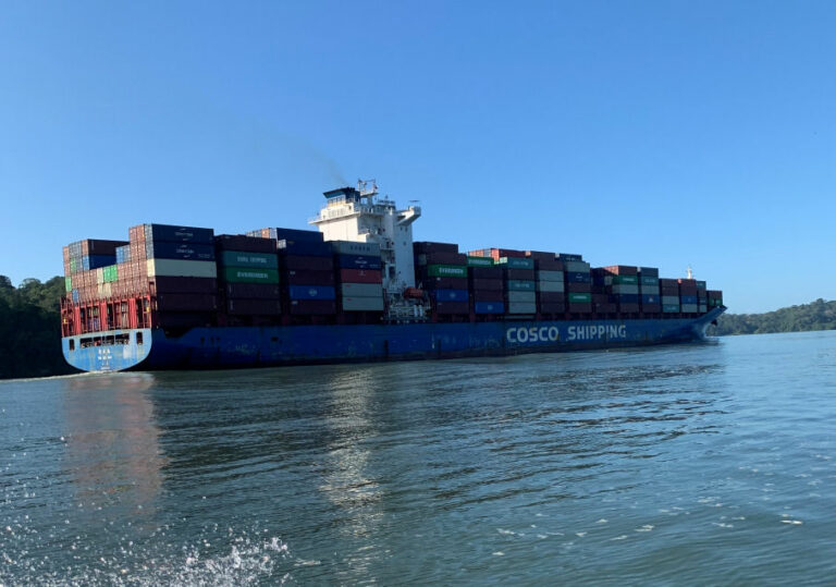
The only way to the island is by boat over Lake Gatún, which of course is also used by ships transiting the canal.
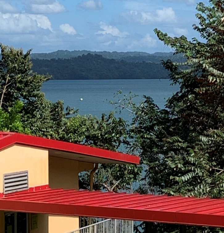
This is a view of the lake from the island, taken from a hillside overlooking one of STRI’s buildings.
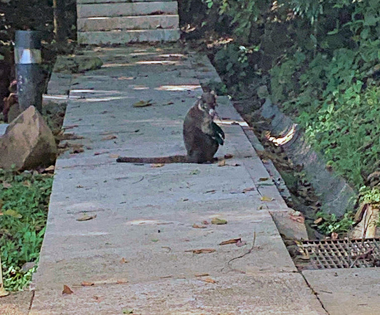
The animals here aren’t very shy, since the only humans on the island are researchers. This little fellow is a couati, which is a kind of South American raccoon, casually making his way along the sidewalk.
Panama is a remarkable place for wildlife. The name “Panama” is believed to come from a Native word that means something like “abundant wildlife.” That’s because the isthmus only formed three million years ago, a blink of an eye in geological terms. Both North and South America had their own independently evolved wildlife, and when the isthmus appeared, flora and fauna from both continents moved in.
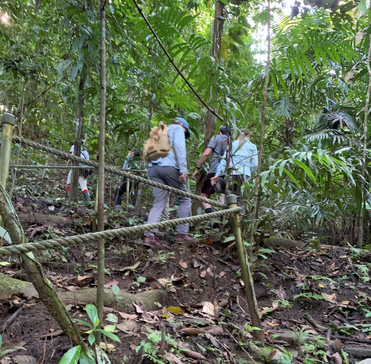
The grad students and I hiked around the island, which remember is just a big hill, so there was a lot of climbing. I wasn’t sure I could keep up with these whippersnappers, but I managed.
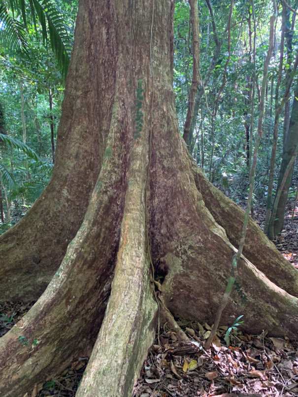
The trees in the jungle are quite big and tall. This is the base of a Panama tree. The Panama tree is the national tree of Panama, you will not be surprised to learn.
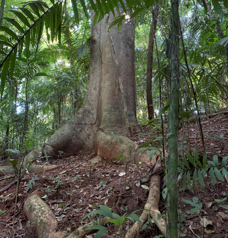
This is the base of a Dipteryx tree. These are the giants of the South American tropics. Notice how the roots have to spread far from the trunk, to keep the tree from falling over.
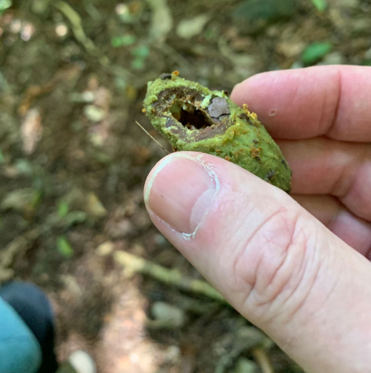
The dipteryx trees produce millions of fruits, most of which are eaten by the wildlife. Here is an example. This is the stone of the fruit. The fruity pulp was eaten by a fruit bat, which afterward dropped it on the ground. Then a coati bit it open and ate the inside of the stone.
The poor dipteryx has to produce all those fruits because only a tiny percentage of them survive.
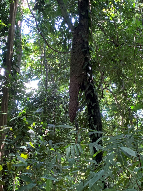
That brown thing hanging off the tree trunk is an ant nest. It is home to millions of ants. They eat the leaves of the tree. The conical shape allows the ants to dispose of their droppings from the bottom. These ant droppings are an important source of fertilizer for the jungle.
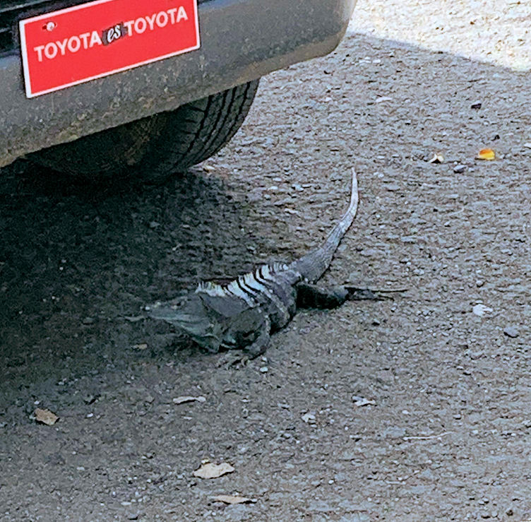
After crossing back to the mainland and the parking lot, I discovered this iguana hiding in the shade of a parked car.

Baud
I’ve cruised through the Panama Canal, but never thought about the islands. Very cool.
OzarkHillbilly
That would be the ubiquitous coatimundi. You probably didn’t see it’s much rarer cousin the coatitoosdi.
Sorry, old caver joke.
HinTN
@OzarkHillbilly: Too much time on your hands while lost underground?
@ Mark – Thanks for the informative visit to the Canal Zone.
As for you, @Baud:, where haven’t you been?
Dorothy A. Winsor
Fascinating pics and story
OzarkHillbilly
@HinTN: I have never been lost underground but there were a few times I got temporarily turned around.
StringOnAStick
I have loved the Smithsonian via their magazine since I was a teen, and it’s the only magazine I still subscribe to; I think it gives me comfort in the sense of continuity and of science as a steady, ongoing force for discovery of the natural world. Their tropical research station has been a force for understanding the tropics for decades, so cool you were able to go there!
MelissaM
“Coati” is my Wordle starter!
I’m enjoying this tour of Panama – many thanks.
Trivia Man
@OzarkHillbilly: Should have carried bread crumbs in your pocket
citizen dave
Very interesting–thanks!
Villago Delenda Est
Thanks for the photos and travelog, Mark! Fun thing about Panama, you can watch the sun rise over the Pacific, then travel across the isthmus, and watch the sun set over the Atlantic.
Torrey
Thank you for the pictures and the explanations. A very interesting trip.
Mike in Pasadena
Excelent lessons on Panama. Thank you
stinger
Great photos and descriptions! Thanks!
Dan B
We didn’t get to Panama but got to the border between Costa Rica and Panama. The terrain is amazing with high steppe / altiplano a few miles from moist tropics and tropical beaches. It seems that Panama has escaped the military dictatorship all too common in Central America.
way2blue
@Villago Delenda Est:
Yes! That kink in the isthmus totally confuses people like me who start with a lousy sense of direction..