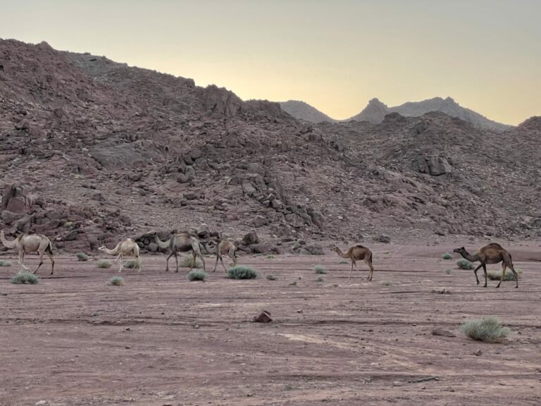
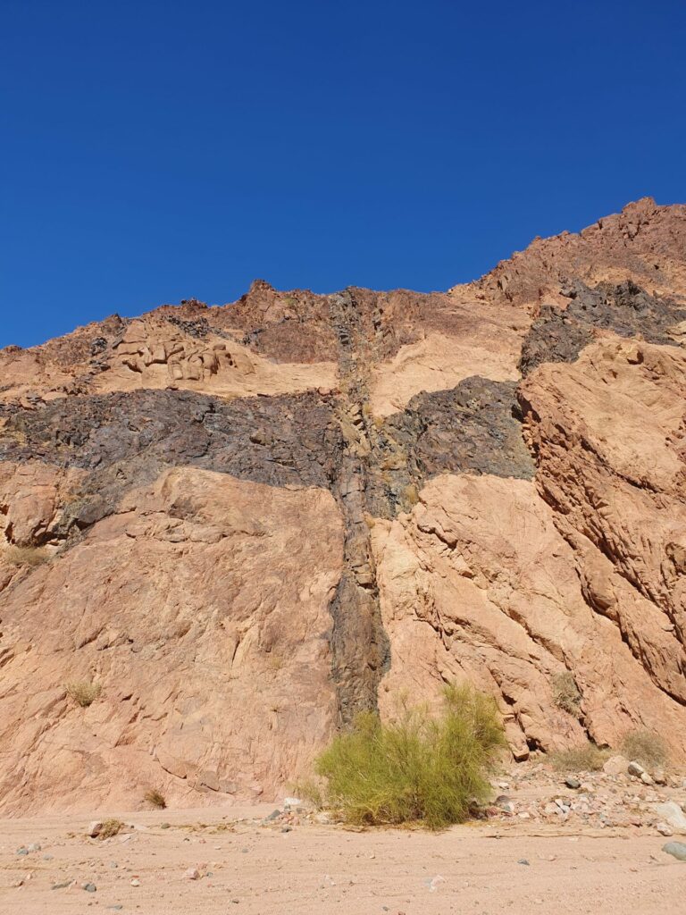
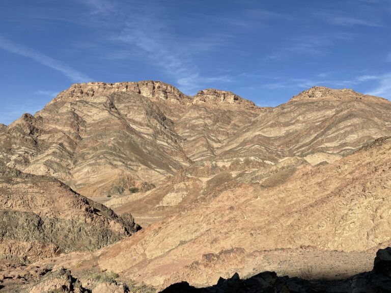
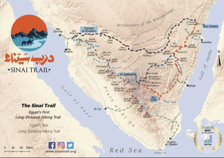
I am surprised (and delighted) by the enthusiastic response to the pictures from this trip. I guess that it is due to seeing pictures from a place that is so off the beaten track for one. Second, everybody knows of the Sinai from the Bible and probably has an image in their head of the Sinai being like the Sahara, an endless expanse of sand (I don’t know whether this is true for the Sahara as a matter of fact). Some readers of the earlier parts expressed something like “I had no idea the Sinai was like that” when they saw that the Sinai is not like the Sahara.
I will conclude this series with another set of pictures of the landscape we walked through, less focussed on geological features as Pts 2 & 3 were and more illustrative of larger scale features of the landscape.
And then it is about time to get ready for this year’s hiking season which for me will start in early April and will likely end in November if my old bones hold up to what’s on the agenda.
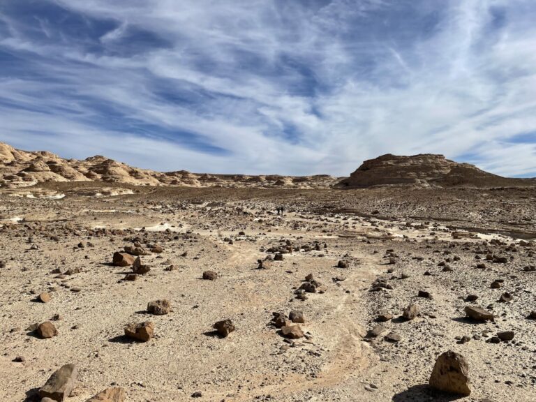
Jebel El Gunna is a long-stretched mountain of about 1500 feet height that has only a few points where it can be accessed by climbing a moraine. here we are looking back over the system of wadis we walked that day to get to the base of one of these access points. It was a particularly desolate area, we encountered vegetation in only one wadi where the Bedouin had built a dam to collect rain water and used it to irrigate an orchard.

